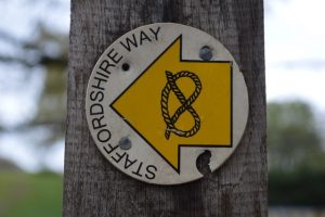


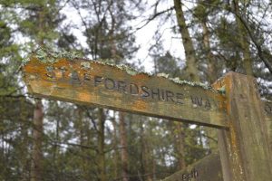
The Staffordshire Way – a forgotten treasure?
The 1960s and 70s were something of a golden era for long-distance walkers. Dozens of new routes were plotted, published, and promoted, one of which was the Staffordshire Way.
The route from north to south starts at Mow Cop Castle near Leek and traverses Congleton Edge to The Cloud near the Peak District boundary before joining the towpath of the Caldon Canal, the Churnet Valley and River Dove towards Uttoxeter. From there it follows the Trent and Mersey Canal towards Shugborough Hall.
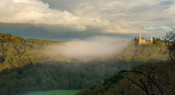
Cannock Chase and Highgate Common are both visited before finally reaching the sandstone escarpment of Kinver Edge some 95 miles or so from the start.
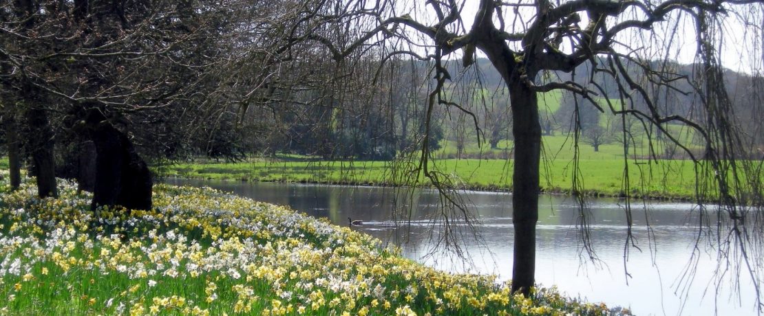
In so many ways the path highlights the varied beauty of Staffordshire and should be a great selling point for visitors to the county and for residents looking to explore further afield.
Sadly, in recent years the route has been somewhat forgotten, and the only published guide has been out of print for a quarter of a century. There is little online material to help plan a walk, while in places the waymarking has sadly become lost and the path overgrown. As a result, in 2021, we launched a project to breathe new life into Staffordshire Way. An enthusiastic team health-checked the route, logging problems such as stiles in need of repair, and compiled information on public transport, accommodation and places to eat and drink.
In 2022, our intrepid team of relay runners covered the entire 96 miles in just under 18.5 hours! As far as we know, this relay running event is the first of its kind and we hope it inspires lots more interest in the Staffordshire Way.